

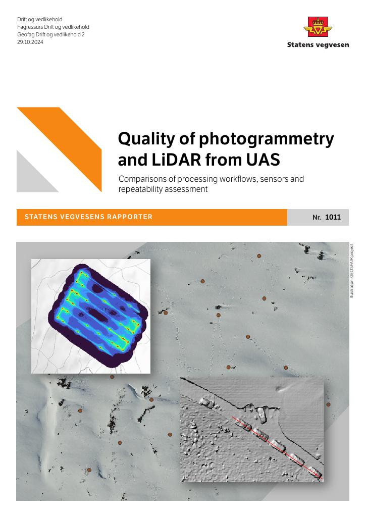
Quality of photogrammetry and LiDAR from UAS Comparisons of processing workflows, sensors and repeatability assessment
This report summarizes comparative studies of repeatability and accuracy of optical and laser data recorded with UAS mounted sensors. For photogrammetry surveys, different sensors, different processing software has been used. The overall conclusions and findings of this work are that both photogrammetry and lidar surveys may give accurate elevation models and orthomosaic using high-end survey drones with current available processing software. We conclude that with this type of technology will be useful and valuable as a part of an integrated workflow for avalanche forecasting.
Publisert
Eier
Statens vegvesen (SVV)
Forfatter
Andrew Tobiesen
Språk
Engelsk