

Sensors on UAVs for snow mapping Recommendations for UAV sensor technologies for snow mapping and characterization
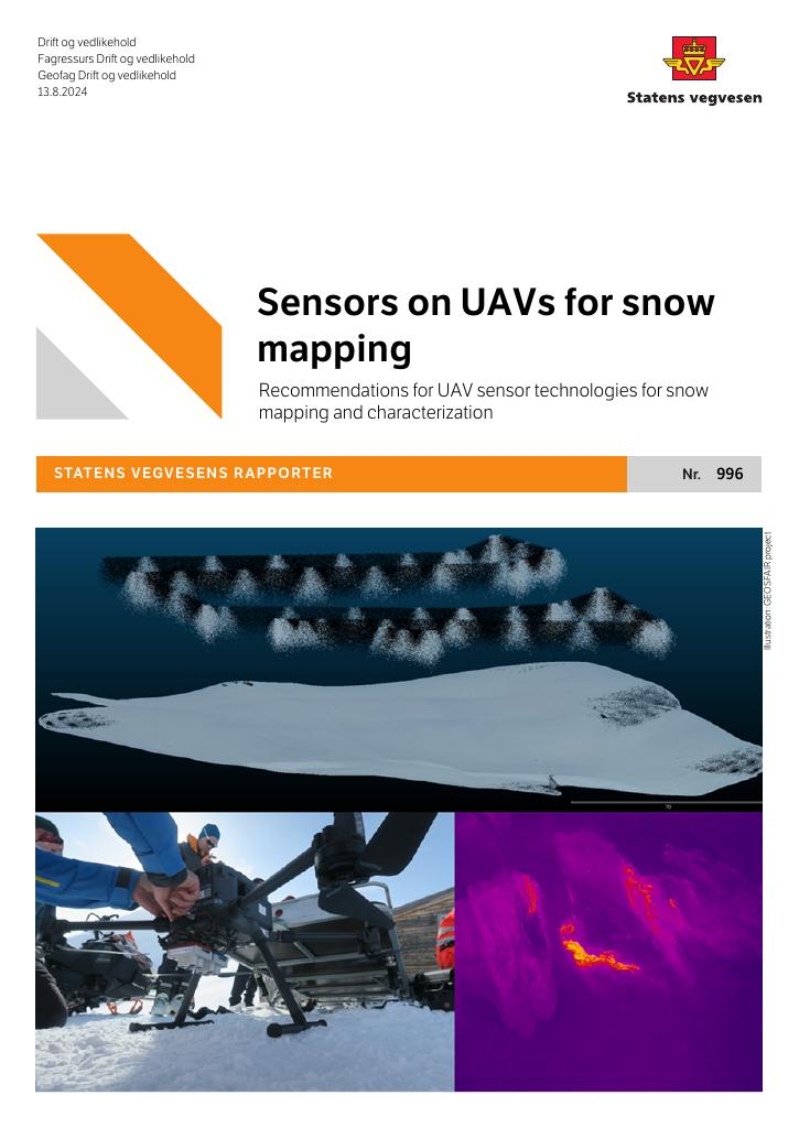
The GEOSFAIR project aims to enhance the NPRA's geohazard risk assessments by using uncrewed aircraft systems (UAS) to monitor snow and danger of snow avalanches. In mountainous areas with steep slopes, these UAS will collect data on the snowpack using specialized sensors. This data will be processed and analyzed to improve risk assessment and decision-making for geohazards. This report outlines the findings from Work Package 1 (WP1) of the project, which focuses on developing optimal specifications for UAS flight systems, sensors, and logistical support for avalanche forecasting and monitoring.
Publisert
Eiere
Norges forskningsråd (NFR), Statens vegvesen (SVV) og Norges geotekniske institutt AS (NGI)
Forfattere
Bastien Dupuy, Are Hellandsvik, Richard James Donald Moore, Trine Kirkhus, Asbjørn Berge, Halgeir Dahle, Emil Solbakken, Elisabeth Hoffstad Reutz og Sean Salazar
Språk
Engelsk