

Snowpack mapping with georadar (GPR) on UAS Quantitative analysis of GPR data for snowpack properties
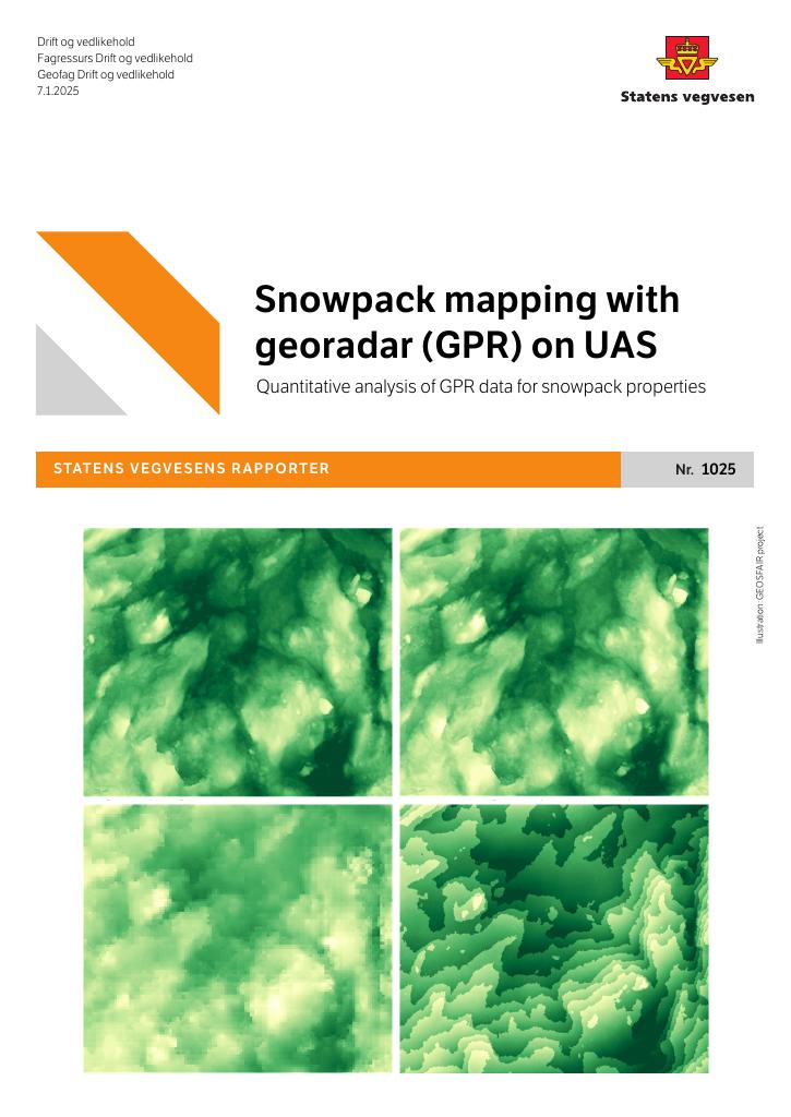
As part of the GEOSFAIR project (2021-2024), methods were developed to derive quantitative snowpack information from GPR data captured by UAS. An automatic picking algorithm was implemented to identify snow surface and snow-ground interfaces. Using a dense dataset with GPR lines every 50 cm recorded at Fonnbu in March 2024, travel times were converted to snow heights and compared with UAS-based LiDAR survey results. Different bare ground models were used for LiDAR snow heights. Additionally, a machine learning algorithm was tested to derive snow density from UAS GPR data, showing promising results when tested on real data from 2022-2024.
Publisert
Eier
Statens vegvesen (SVV)
Forfatter
Martin Châtel
Språk
Engelsk