Kartlegging
Vegetasjon og beite på nordsida av Aursunden : rapport frå vegetasjonskartlegging i Røros kommune
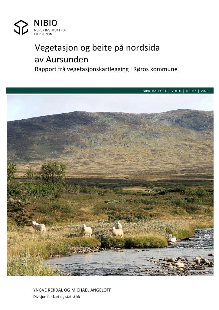
Norsk institutt for bioøkonomi utførte somrane 2018-19 vegetasjonskartlegging i Røros kommune. Samla areal var 200 km². Kartlegginga er gjort etter instruks for kartlegging i målestokk 1:20 000 - 50 000 (VK25). Det er laga vegetasjonskart og 3 avleia temakart for beite for sau og storfe, og barmarksbeite for rein. Denne rapporten beskriv metode for kartlegging, registrerte vegetasjonstypar og deira fordeling i området. Det er gjeve ein omtale av beiteverdi og beitekapasitet, samt nokre råd kring skjøtsel av kulturlandskap og beite i kartområdet. The vegetation types over a total of 200 km2 of mountain areas in Røros municipality have been mapped according to the methodology for vegetation mapping (scale 1:20 000 - 50 000). 53% of the mapped area is in the subalpine and the coniferous zone. The rest is in the open mountain up to 1265 m.a.sl. A vegetation map have been produced, from which 3 different thematic maps have been derived. This report describes the methodology and gives a detailed description of the registered vegetation types and their distribution in the area. Further, a description of other information which could be derived from the vegetation map is provided, with emphasis on grazing conditions for domestic animals.
Publisert
Eier
Røros kommune
Utfører
NIBIO - Norsk institutt for bioøkonomi
Forfattere
Yngve Rekdal og Michael Angelhoff
Språk
norsk (bokmål)
Kilde
ISBN
9788217025801